

Latest Articles
-

How to Track Email Traffic in GA4 (+ Custom Report Guide)
No doubt, you put so much effort into writing the perfect subject lines, designing beautiful …
-
10 Best Figma Tutorials For Aspiring Designers in 2026
Figma holds over 30% of the market share in the design tools space and for …
-
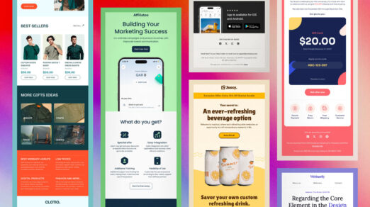
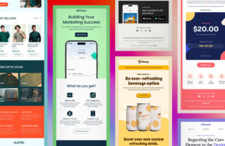
Email Design Trends for 2026
As we move into 2026, email marketing still works really well for engagement and conversions. …
-
What is a Static Website and How to Make One
Static websites are becoming popular among businesses, creators, and developers who seek fast, secure, and …
-
14 Professional Free and Paid CSS and HTML Editors
CSS or Cascading Style Sheets is a type of web language that is used to …
-
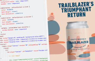
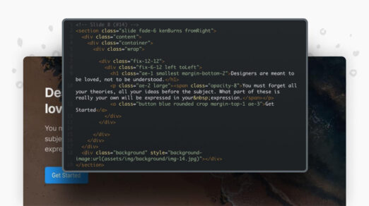
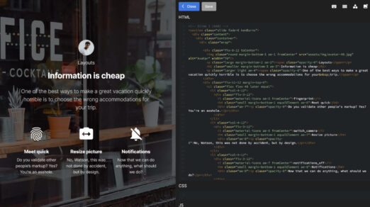
HTML and CSS in Emails: What Works in 2026?
Designing emails with HTML and CSS allows for professional, branded, and visually appealing content. However, …
-
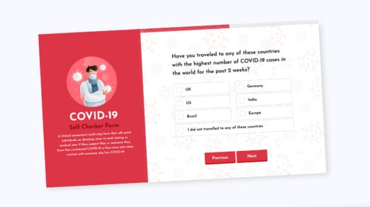
How to Create a Multiple Steps Form with Bootstrap 5
The basic purpose of a form is to collect information from users with a specific …
-

Understanding Bootstrap 5 Layout
Building website layouts is a complex task. When the web was introduced we don’t have …
-
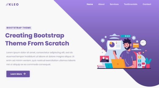
How to Create a Custom Bootstrap Theme from Scratch
Bootstrap, the most popular front end framework in the world, makes it easier for web …
-
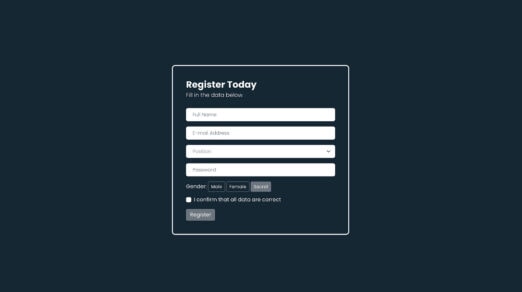
How to Validate Forms with Bootstrap 5
Form validation is one of the most critical factors when it comes to collecting information …
-

How to Migrate from Bootstrap Version 4 to 5
Bootstrap is more relevant than ever with updates that are easy to learn and use. …
-
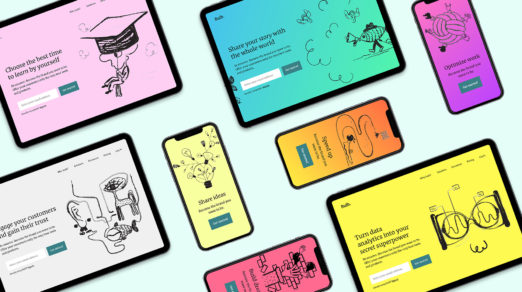
Free Absurd Illustrations for Landing Pages
Absurd Illustrations that make sense are something completely new when it comes to modern web …
-

Getting Started with Bootstrap 5, React, and Sass
There are several ways to build modern web applications using JavaScript and CSS. With lots …
-
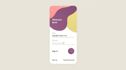
Beautiful Examples of Login Forms for Websites and Apps
Login forms are one of the most important user interface elements in mobile applications and …
-
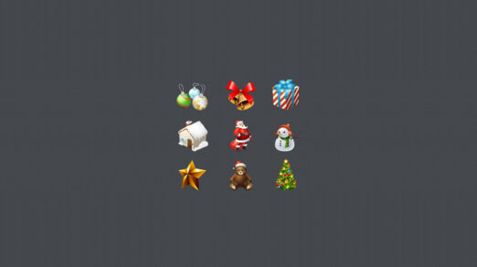
Free Christmas Icons Set
As the festive season draws near, the digital world embraces the spirit of Christmas. Visual …
-
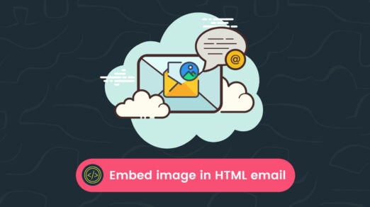
The Best Ways to Embed Images in HTML Email
We have all heard that a picture is worth a thousand words. When it comes …
-
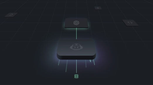
10 Best AI Tools for Web Developers
AI-powered tools have significantly evolved over the past few years. They have applications in almost …
-
What is an Interaction Designer?
These two little words are being used a lot in the design sphere these days. …
-
Best Examples of Web Application Interface Designs
We can safely call this decade a decade of startups. Small and big, local and …
-
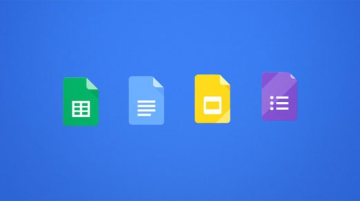
20 Useful Free Google Docs Templates
A Google Docs Template allows us to upload, download and create documents with file extensions …
-
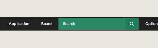
Create a Dropdown Menu with Search Bar in CSS3 and HTML
Topic: CSS3 Difficulty: Intermediate Estimated Completion Time: 45 min In this tutorial, we will be …
-
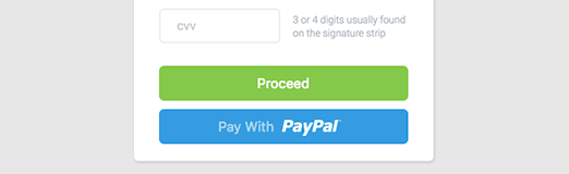
How to Create a Credit Card UI using HTML and CSS3
Topic: HTML / CSS3 Difficulty: Intermediate Estimated Completion Time: 30 minutes In this tutorial, we …
-

20 Places to Find the Best Free Stock Photos
Good images are a key part of putting together a great website. But finding images …
-
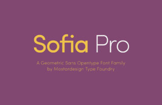
Headline and Title Fonts: Most Popular Typefaces, Best for Webfonts
Headline fonts have to set the tone of the entire document. Magazines, spreadsheets, tabloids, and …